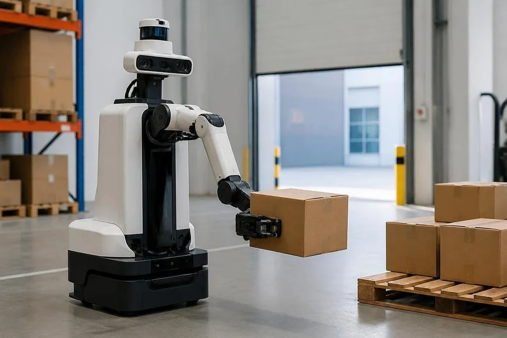
A robot needs more than an image to pick up a box or avoid a wall. It must estimate how far each object is from its sensors, then turn that estimate into motion.
- Stereo cameras measure depth from the view difference between two lenses.
- Time-of-flight sensors measure how long light takes to return.
- LiDAR builds distance data from laser pulses, but dust and dark surfaces can reduce its accuracy.
Stereo cameras use two views
A stereo camera has two lenses placed a fixed distance apart. Software compares the same point in each image, then uses the difference in position, called disparity, to estimate distance.
Nearby objects shift more between the two views than distant objects. That pattern lets the system build a depth map, which gives many image points an estimated distance instead of treating the scene as a flat picture.
The method works well when the cameras see clear edges and surface detail. A plain white wall gives the software few points to match, while a textured box usually gives it more useful detail.
Poor lighting, glare, and a lens that has moved out of calibration can also produce bad distance estimates. The problem starts before the robot moves: its map may already contain the wrong measurements.
Time-of-flight measures returning light
A time-of-flight sensor sends out light and measures the time until part of that light returns. Travel time gives the robot a distance estimate for each measured point.
Many of these sensors use infrared light. They can measure depth in scenes where stereo matching struggles, since the sensor creates its own light pattern.
A nearby object may still cause trouble if its surface reflects too much or too little light. The sensor also has a limited range and field of view, so it may see the floor directly ahead while missing a narrow object beside the robot’s body.
LiDAR builds a distance map
LiDAR sends laser pulses into the scene and measures the return time. By changing the pulse direction, the system gathers distance readings across a wider area and builds a point cloud, which is a set of measured points in space.
A mobile robot can compare new LiDAR readings with older ones to estimate its position. Those comparisons help it create a map of walls, shelves, and open paths.
Depth sensing sets the margin between a clear path and a collision. A robotics sensing report from Robot24.com adds context to the map data before LiDAR’s limits change what the robot can trust.
LiDAR has limits. Dust, rain, glass, and dark or sharply angled surfaces can weaken the return signal.
A point cloud tells the robot where surfaces are, but it may not tell the robot what those surfaces are. A camera can add color and visual detail, while LiDAR adds direct distance readings.
Robots combine sensors before moving
A robot rarely trusts one depth source for every task. Software can combine camera images, LiDAR points, wheel movement, and inertial sensors.
This process is called sensor fusion. The system compares the readings and checks whether they agree with the robot’s recent movement.
That check matters when the robot turns or passes a moving person. Camera depth may shift when lighting changes, while LiDAR may lose points from glass.
Combining the readings can reduce errors, but it cannot remove bad input. A poor sensor position or wrong calibration can affect the whole distance estimate.
The robot then uses the depth data for a specific action. An arm needs the distance and angle to a target object. A warehouse vehicle needs free space near its wheels. A legged robot needs the height and slope of the ground before placing a foot.
A practical check before choosing a sensor
Use this list when comparing a depth setup for a robot:
- Task first: picking, driving, inspection, or walking each needs a different view of distance.
- Lighting check: measure the scene under the brightest and darkest expected conditions.
- Surface check: test glass, black material, metal, and plain walls if they appear in the work area.
- Motion check: confirm that readings remain useful while the robot and nearby objects move.
- Calibration plan: set a routine for checking camera position, sensor mounts, and timing.
For a small indoor robot, stereo cameras may keep the hardware cost and weight down. For mapping open areas, LiDAR can give cleaner distance data. Time-of-flight sensors fit tasks that need direct depth over a limited view.
I'd choose the sensor after testing the hardest surface and lighting condition in the real work area, not after reading the range listed on a product sheet.
The open issue is still software: a robot can measure that an object is 2 m away and remain unsure whether it can safely pass, reach, or lift it. Depth tells the robot where something is. The task rules decide what happens next.